
Land Acknowledgment
The Arnold Creek Neighborhood Association acknowledges the land now known as Portland rests on the unceded territory of the Multnomah and Clackamas Bands of Chinook who made this area their home. We extend our deepest gratitude to the First Peoples who were the original protectors and stewards of these lands and acknowledge all they have endured, and continue to endure, so that we may also call this place our home.

City of Portland Resources

Historical Context of Racist Planning
Land Use News
View City of Portland Bureau of Development Services (BDS) Public Notices.
Contact us to learn how you can weigh in on land use projects and hear what others have to say.
Portland CEI Hub
“The horrific fires in LA are a stark reminder of how quickly potential danger can turn into real devastation.”
These are the words of Nikki Mandell of the CEI Hub Task Force. This concern is what motivated the Arnold Creek Neighborhood Association Board, on November 12, 2024 to sign onto the Task Force’s letter to the Multnomah County Commission urging them to take action to protect our city.
The CEI Hub is the large tank farm facility along Hwy 30 on the banks of the Willamette near the Linnton neighborhood. CEI stands for Critical Energy Infrastructure and refers to the fact that these 500+ tanks hold all the gasoline, jet fuel and other flammable energy materials that are used in Oregon and also shipped to areas beyond. Many of the tanks also hold a variety of commercial and agricultural chemicals.
The CEI Hub is built on unstable fill soils that are prone to “liquification” during an earthquake. There is also a railroad track running parallel to the highway alongside the tanks which is a route for the liquid natural gas and other flammable products being transported through our region. There is concern regarding a possible derailment.
Additionally, the woods of Forest Park are adjacent and the steep hillsides above the highway are prone to landslides. Compounding the problem is the age of the tanks, the vast majority of which were built long before current safety standards were put in place. For more info, read this MSN/KPTV article.
The letter to the Multnomah County Commissioners, endorsed by the ACNA Board, urges them to require the tank owners to carry Risk Bonding. It is a form of advance insurance, which requires that a business/service provider – not the consumer or taxpayers – bear the financial responsibility for costs arising from a disaster, accident, or provider failure.
Additional actions are being considered at the state level where five bills related to making the CEI Hub and other fuel and hazmat storage facilities safer will be introduced this year.
The CEI Hub Task Force is also closely monitoring Zenith Energy’s request for a fast-tracked approval to expand their operations in the CEI Hub, adding new dangers to the area. For more info, see With Zenith Energy’s Permits On The Line, Critics Urge Strong Government Oversight – Portland Mercury
To be added to the CEI Hub Task Force mailing list, please contact Nikki Mandell at nikki.mandell@gmail.com.
Learn more about the CEI Hub
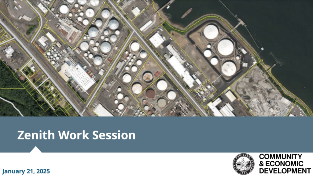
January 21, 2025 City Council Work Session on Zenith Energy Terminal
Learn more and view the recording.January 21, 2025 City Council Public Comment Listening Session on Zenith Energy Terminal
Lern more and view the recording.
Notices
2026-035456-000-00-RS
Single Family Dwelling
Addition
LU 26-042768 AD
July 28, 2026 Notice of a Type II Decision (Approved)
Proposal: A 255 square foot attached garage addition to the north of the existing garage located at 2714 SW Sylvania Terrace. An Adjustment is requested to allow the garage wall to be closer to the street than the longest street-facing wall of the dwelling unit.
LU 23-003911 EN (Trail between Marshall Park and Tryon Creek State Park)
- February 17, 2023 – We received Notice of a Type Ix Proposal from Oregon Parks and Recreation for land owned by the City of Portland and Metro. They propose to built a natural surface hiking trail which will run between Marshall Park and Tryon Creek State Park. The proposal requires a Land Use Review as they will remove 3 native trees over 12″ diameter. A map of the proposed trail is included with the LU notice. There will not be a hearing. A decision will be made by Morgan Steele of COP Land Use Services. To comment on this proposal, send an email to Morgan.Steele@portlandoregon.
gov by 5pm March 20, 2023.
LU 22-214179 EN (Improve Fish Passage near new Boones Ferry Bridge)
- January 25, 2023 – We received Notice of a Type 1x Proposal for the Oregon Parks & Rec. Dept land beneath the new SW Boones Ferry Bridge. Portland’s Bureau of Environmental Services wants to do further work to enhance Tryon Creek below the bridge including creating a widened roughened channel to limit the erosive energy of the stream, improve fish passage, and create a more resilient stream ecosystem. They will remove 20 native trees adjacent to the creek for the purposes of widening and roughening the channel. BES will restore and enhance these areas upon project completion by planting native pants within specific regimes including, wetland, stream banks, and upland. A decision was made on this proposal on March 6, 2023 to approve the project. A zoning permit will be required for the construction work. A map of the mitigation area that will be subject to removal of invasive plants and replanting of native plants is included in the proposal.
SW 29th Ct and SW Comus St (8-Lot Land Division)
- Don and Coleen Blazer, ACNA neighbors and owners of the large property near the corner of SW 29th Ct and SW Comus St which was approved for an 8-lot land division in 2020 recently sold their property to Evergreen Investment Venture Group. The Blazer’s had not yet applied for a Final Plat of the land division. The new owners will have until 9/17/23 to make the application or the preliminary land division approval will lapse.
City Planning

2035 Comprehensive Plan
Portland’s 2035 Comprehensive Plan guides how and where land is developed and infrastructure projects are built to prepare for and respond to population and job growth.
All cities and counties in Oregon are required to have a Comprehensive Plan. Portland’s new Comprehensive Plan addresses future development, and it includes expectations for how and when community members will be involved in land use decisions. It helps coordinate policies and actions across City bureaus as well as with regional and state agencies.
West Portland Town Center

Environmental Overlay Zone Map Correction
The Ezone Project corrects environmental overlay zones to better align with mapped natural resources and wildlife habitat. The amendments to the official zoning maps and the zoning code went into effect on October 1, 2022.
Environmental Overlay Zone Map Correction Volume 2, Part C – Tryon Creek and Southwest Hills East, Natural Resources Inventory and Protection Decisions includes the results for Resource Sites in the Tryon Creek and Southwest Hills geography.

Southwest Community Plan
The 2000 Southwest Community Plan Vision, Policies and Objectives is a set of policies that provides the foundation upon which any additional plan components are built.
Adopted policies guide and direct community planning decisions regarding land use, the provision of public services (such as parks and transportation), and community-based improvements. Policies need to be specific enough to help determine whether or not a proposed project or program would advance community values expressed in the goals. Objectives are specific statements that carry out a plan in the short term. Objectives are measurable benchmarks that can be used to assess incremental progress in achieving the broader purposes expressed in policies.
Southwest Community Plan Comprehensive Plan Zoning Map (2001).

Southwest Hills Resource Protection Plan
The 1992 Southwest Hills Resource Protection Plan serves as a policy document for planning staff in evaluating development proposals through environmental review. The plan also serves as a reference for property owners, developers, citizens and neighborhood groups. (superseded by Volume 2 Part C –Tryon Creek and Southwest Hills East, Natural Resources Inventory and Protection Decisions, effective October 1, 2022)
The Southwest Hills Resource Protection Plan provides the inventory, analysis and recommendations for protection of significant natural resources located in southwest Portland. The project study area covers 7,000 acres south of the Balch Creek basin and downtown Portland, including the areas which drain directly into the Willamette River.
